Length: 22 km | Total ascent: 170 m | Coffee: Ogulin | Companion: Željka T. | Date: 20. 6. 2025. | Surface: Asphalt, gravel | Route at: Outdooractive | Download: GPX
This route takes us through the valleys of the Dobra and Vitunjčica rivers, offering an easy and scenic ride that will leave you in awe of nature’s beauty.
The journey begins in Ogulin’s town center, where we can immediately visit the fascinating geological phenomenon – Đula’s Abyss (Đulin ponor) – where the Dobra River disappears underground. The first few kilometres take us through suburban areas, followed by a short 2 km stretch along a state road before continuing onto peaceful local roads with minimal traffic.
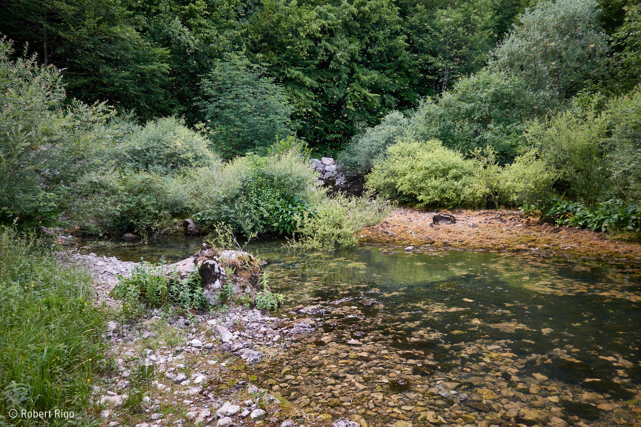
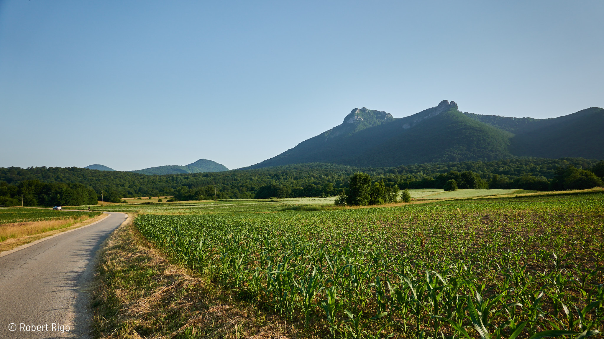
The village of Vitunj is a picturesque settlement nestled near the source of the Vitunjčica River and beneath Mount Klek, a popular hiking destination. The river source is easily accessible via a gravel path and is well worth visiting. The spring maintains a constant water temperature year-round, offering a perfect spot to refresh. Just downstream, you’ll find a fish farm taking advantage of these ideal conditions.
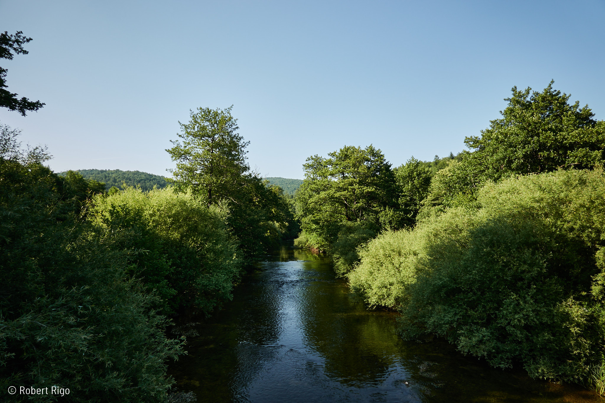
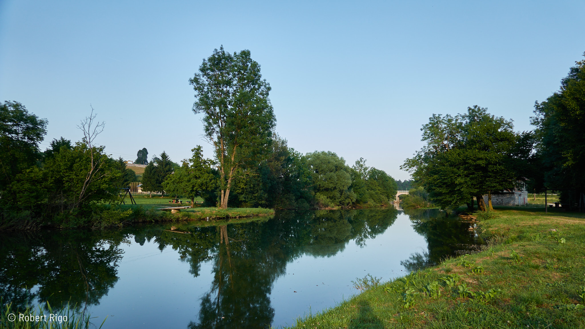
On our return to Ogulin, we ride along or near the banks of the Dobra River. As we approach Ogulin, the river widens into the artificial Bukovnik Lake. Both Bukovnik and Sabljaci Lakes (explore the route around Sabljaci Lake) are connected by a tunnel that channels their waters to the Gojak Hydroelectric Power Plant.
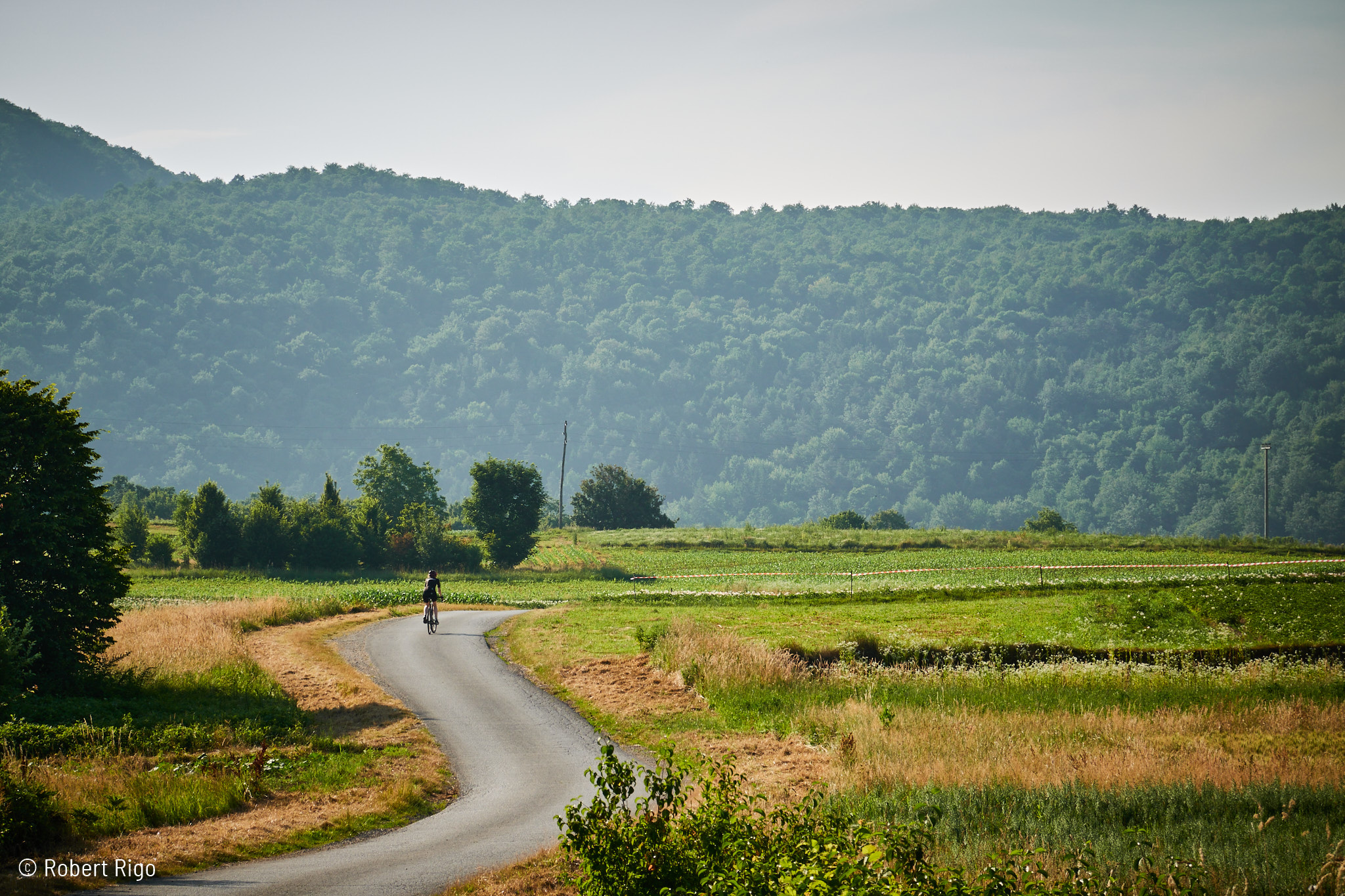
The cycling route primarily follows quiet roads with some gravel sections. There are numerous spots along the way to take a break and soak in the stunning natural surroundings.
How to get to the start
The bike route begins in Ogulin’s town centre, just a short distance from the train station. This makes it incredibly easy to arrive by rail and start pedalling right away!
Want to know more?
Ogulin Tourist Board: https://visitogulin.hr/
About Ogulin: https://en.wikipedia.org/wiki/Ogulin
River Dobra: https://hr.wikipedia.org/wiki/Dobra
Note: My English ain’t perfect, but we understand each other, don’t we?

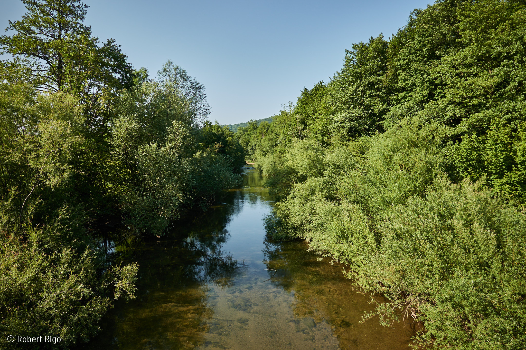
Dobra River

Makadamski put u blizini Brestovca Ogulinskog

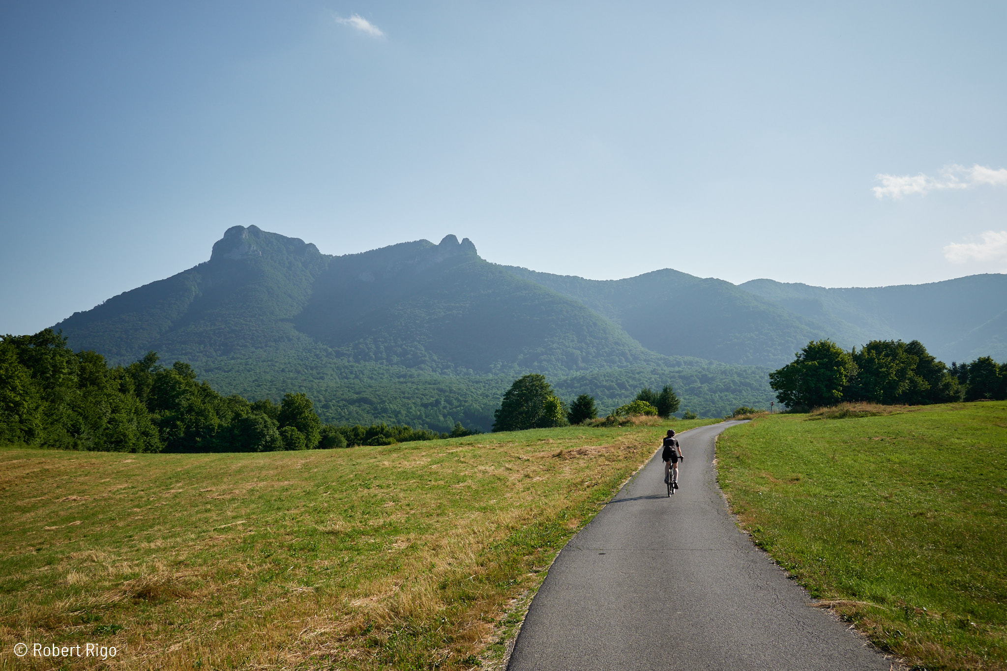
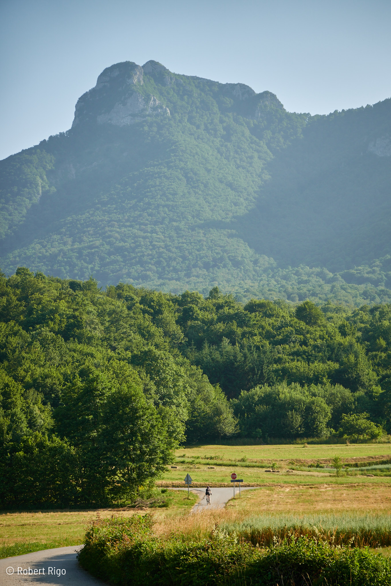
Breathtaking nature and peaceful roads, with the towering peak of Klek Mountain watching over it all.

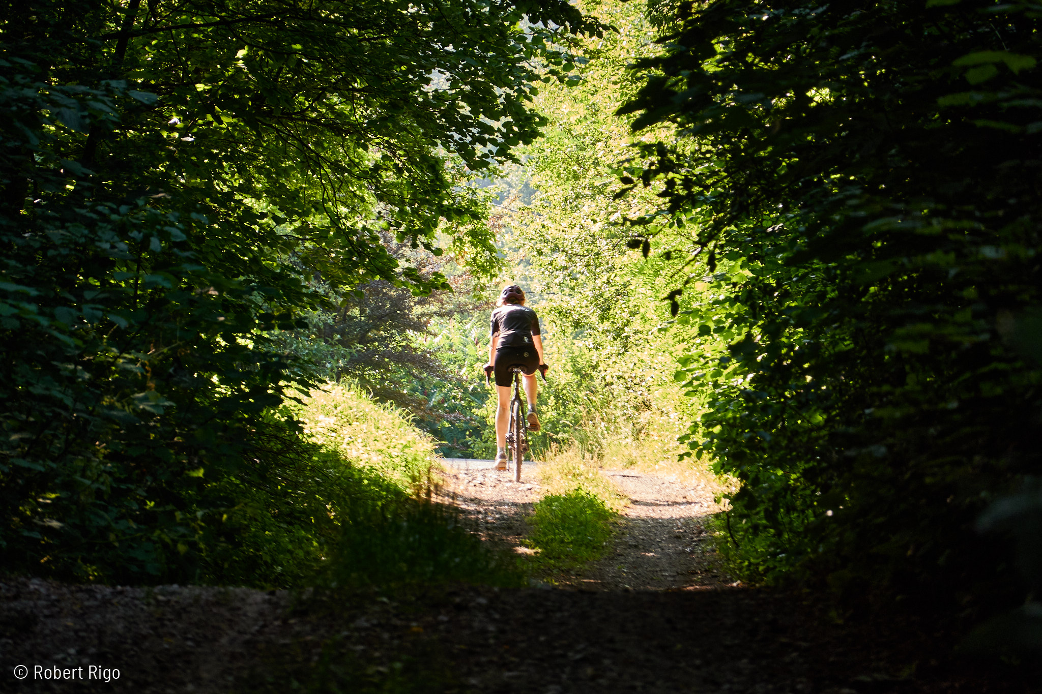
Vitunjčica River

Klek Mountain Peak

Picturesque road to Vitunj

The village of Vitunj

Source of the Vitunjčica River

On the road from Vitunj to Ogulin. The mountain peak Klek.

Rest area by the Dobra River near the old millhouse

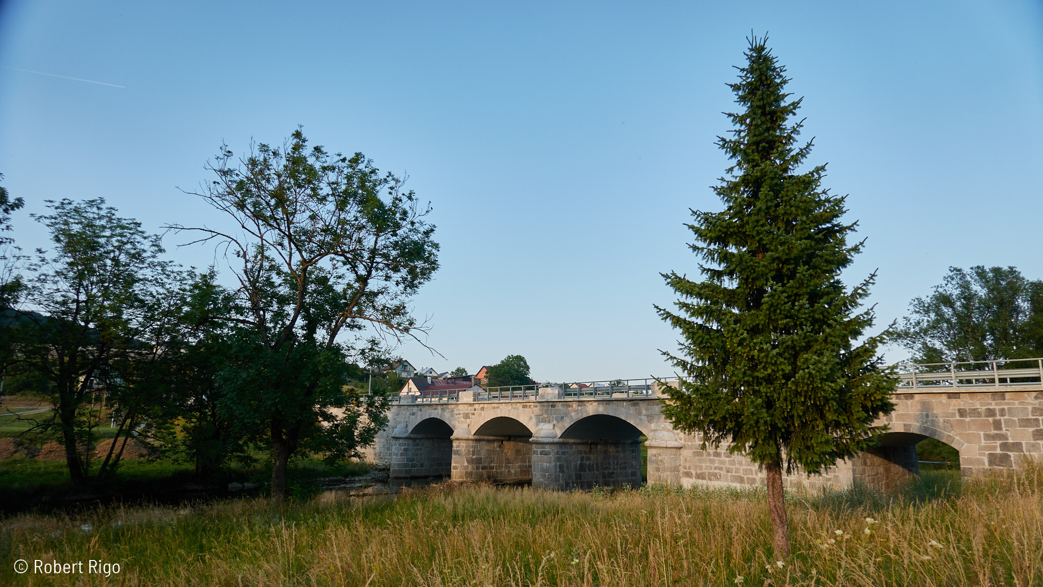
Molinari Bridge over the Dobra River
